Orca’s latest weather update saves forecasts with routes, adds a 10-day daily summary and improves tide information. The company outlined the changes in its 5 November announcement, with offline access as the main practical addition for passages beyond cellular coverage.
We previously covered Orca’s weather-based routing; this latest update adds offline access to saved route forecasts.
Saved routes keep their forecasts
When you save a route, Orca now saves its weather forecast alongside it. Then, whenever you select that route online, the app refreshes the forecast if a newer one is available.
If you later open the route without an internet connection, the latest saved forecast remains available in graphs and tables. However, offline access means consulting that saved forecast, not receiving fresh weather without a connection.
Similarly, Orca says tide-station information remains available offline for up to 10 days once you have viewed a station. For passage planning, that gives crews another reason to open the relevant information before leaving coverage.
A 10-day overview
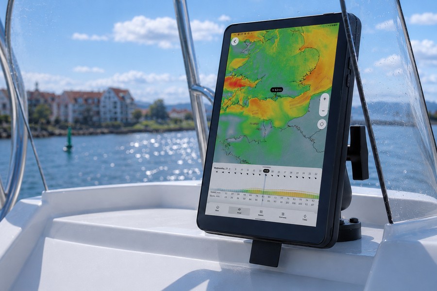
Meanwhile, the new daily summary gives a 10-day view of weather and tide windows. To find it, open the weather tab and slide upwards.
For closer inspection, Orca’s side-panel weather graphs show 20-minute increments, while animated maps show how weather systems develop. The tide forecast also combines a graph with daily high- and low-water times and heights.
Clearer tide references and station locations
Orca displays tidal heights relative to local chart datum, so users can compare them with charted depths on a consistent reference. In addition, the company says it selects regional sources in tide-critical areas, including UK Hydrographic Office ADMIRALTY data in the UK.
The update announcement also highlights recently added real-time German tide data from Bundesamt für Seeschifffahrt und Hydrographie (BSH). Meanwhile, a new edge marker points towards a tide station outside the visible map.
Open the tide tab to see the station nearest the map’s centre; moving the map selects the nearest station in the new area. Together, the changes focus on finding useful weather and tide information faster, then retaining it when the connection disappears.
Source: Orca’s Weather Updates announcement.